Trails & Recreation
SCV Paved Trails & Paseos: Santa Clarita's Bike & Walk Network
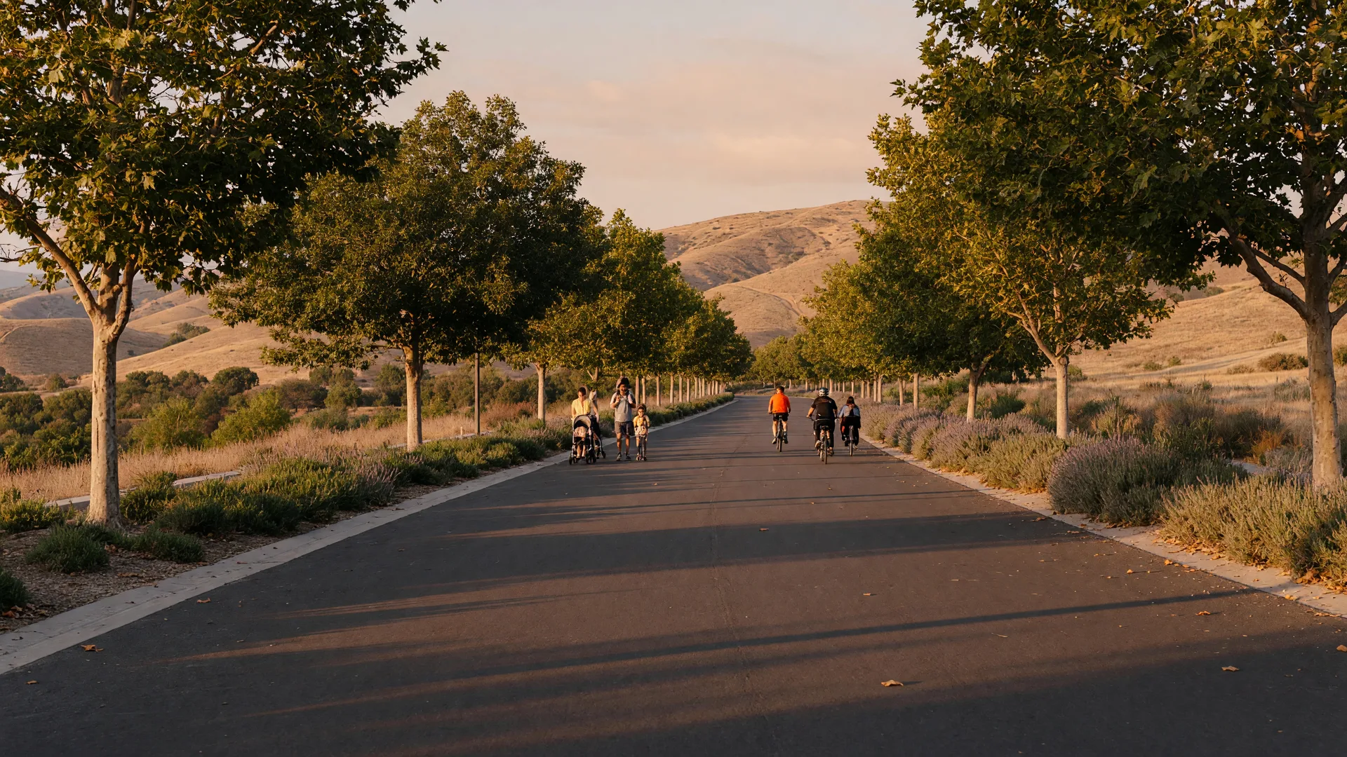
Beyond the hiking trails there is a whole paved world of cycling, jogging, and stroller-friendly paths running through Santa Clarita Valley. The Santa Clara River Trail, San Francisquito Creek Trail, and the famous Valencia paseos let you cross town without crossing a busy street. Here is the local guide to SCV's paved network, from your neighbor and insider, Sam Silver.
September 1, 2026 Sam Silver 6 min read
When visitors ask what makes Santa Clarita so livable, I point to the things you cannot see from a car: the connection of trails that lace the valley together. The City of Santa Clarita maintains roughly 80 miles of trails plus about 20 miles of landscaped paseos, paved greenways that often run over or under streets so you never have to stop for traffic. It is one of the most extensive networks in Southern California, and it is the reason families can bike to school, jog to a park, and ride across Valencia without touching a sidewalk on a busy road. This guide covers the paved spine of that network so you can enjoy it like a local.
The Signature Route
Santa Clara River Trail (The "River Walk")
About 8-9 miles east-west · Flat, paved & multi-use
When locals talk about "the River Walk," they mean the Santa Clara River Trail, SCV's signature paved path. Running roughly east-west for about 8 to 9 miles between Canyon Country and Valencia, it follows the Santa Clara River and Soledad Canyon Road corridor, with open river views and the valley's mountains all around. It is flat the whole way, which makes it ideal for road bikes, rollerblades, joggers, and kids learning to ride.
The trail has plenty of easy trailheads with parking, water fountains, benches, and maps along its length, and it links directly into the wider paseo network. From the McBean Parkway area it hooks up with the South Fork Trail, and at its western edge it connects toward the San Francisquito Creek path for a long, rewarding loop.
One heads-up for right now: a temporary section of the trail near Bridgeport Park has been closed since late August 2026 for utility construction, with work expected to wrap up late September. Traffic is being detoured onto the Valencia paseo network, so it is a good reminder of how handy those connections are. I am tracking the reopening and will update this guide when it clears.
Creek-Side Cycling
San Francisquito Creek Trail
Roughly 7 miles · Copper Hill to McBean Pkwy
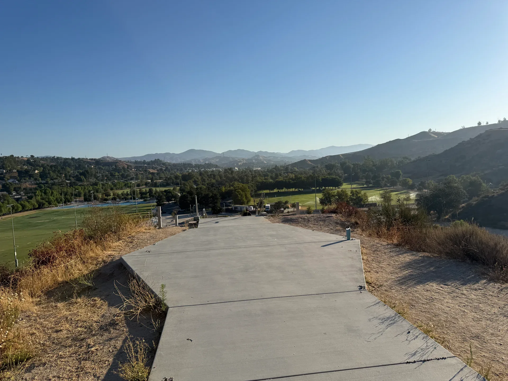
One of the most scenic paved paths in the valley, the San Francisquito Creek Trail follows the creek from the Copper Hill Drive area in the northwest down to the Santa Clara River Trail at McBean Parkway, near Magic Mountain. It is a favorite for road cyclists and joggers, with gentle grades, good birding along the water, and shade in places.
Pairing this trail with the Santa Clara River Trail creates one of the most popular long rides in SCV, a loop of roughly 25 miles that takes in creek, river, and valley views. It is a serious workout, but it also has plenty of shorter, family-friendly sections if you just want a pleasant morning spin.
Two More Paved Favorites
South Fork Trail & Iron Horse Trail
South Fork Trail
About 4.5 miles one way · McBean Pkwy south
This smooth paved paseo follows a dry waterway south from McBean Parkway toward Placerita Canyon Road. It is a peaceful, shaded connector that links residents to the Santa Clara River Trail, the Placerita Junior High area, and the valley's open space. It is one of the best routes for a quiet neighborhood ride or an easy after-work jog.
Iron Horse Trail
About 4 miles · Old railroad trestle
Starting at the old railway trestle bridge off Magic Mountain Parkway near Tourney Road, the Iron Horse Trail runs about four miles through community parks and neighborhoods. The historic trestle makes a memorable starting point, and the trail is a lovely way to explore the western side of Valencia on foot or two wheels.
Chuck Pontius Commuter Rail Trail
About 5 miles · Heart of town
Built along the old rail corridor in the center of town, the Chuck Pontius Commuter Rail Trail runs about five miles beside Valencia Boulevard and Soledad Canyon Road, making it a true get-to-work-and-school connector. Because it follows the rail line, the grades are gentle, and it gives riders a straight, efficient route through the middle of the valley. Named for a longtime local trail champion, it is a quiet commuter gem hidden in plain sight.
Valencia Summit Park Trails
About 2.5 miles · Rolling meadows & wildflowers
For a shorter, prettier outing, the Valencia Summit Park trails offer a paved pathway of roughly two and a half miles winding through gently rolling meadows and wildflower fields. It is a favorite for a relaxed evening walk, a family ride, or a picnic-on-the-grass kind of afternoon, with views over the valley along the way.
The Valencia Paseo System: Cross Town Without Crossing a Street
Grade-separated paved greenways · The signature of master-planned Valencia
Where Santa Clarita really shines is the Valencia paseo system, the interconnecting network of paved, landscaped paths that are grade-separated, meaning they use underpasses and overpasses to let you travel nearly all of Valencia on foot or bike without stepping onto a sidewalk beside a busy street. Parents love that kids can ride safely to school and to friends' houses; homebuyers love that it makes the neighborhood endlessly walkable. Combined, the citywide network of trails and paseos is the backbone of SCV's active, family-friendly lifestyle and a big reason neighborhoods like Valencia and Stevenson Ranch are so popular.
Insider Tips
Riding the Paved Trails Like a Local
Beat the Southland Heat
September and October can still run warm in SCV. Ride in the early morning or late afternoon, bring water, and look for the shaded creekside sections early in the day. Many paseos have water fountains along the way.
Bring the Dog, Keep a Leash
Leashed pets are welcome on the paved trails, and the flat surface is gentle on paws. Pick up after your pup and use the run-off sections to let faster riders pass. The valley has several off-leash parks too if your dog wants to run free.
Build a Loop
Because the paseos connect so many trails, you can turn a simple ride into a loop. Try the Santa Clara River Trail to McBean, up the South Fork, and back through the neighborhood paseos for a change of scenery.
Bike to School
One of the best ways to use the network is the school run. The paseos were designed to connect homes, schools, and parks, so many SCV kids ride to class safely. It is a quality-of-life detail that surprises families new to the valley.
Sam's Take
Why Trails Matter When You Buy in SCV
In 22 years of helping families move to Santa Clarita, I have learned that trail access is one of the first things people look for. A home steps from a paseo in Valencia, or a quick ride from the River Walk in Canyon Country, is a home with daily lifestyle built in. It is also a value signal: walkable, connected neighborhoods tend to hold demand well.
When we tour neighborhoods together, I always note which homes let you roll from the driveway onto the trail. Whether you are buying, selling, or just settling in, the paseo you can reach from your front door tells you a lot about how your family will use the valley. Want to know which SCV neighborhoods pair easiest with the trail network? Ask me anytime, I have spent my whole career crossing these paths.
More SCV Guides
SCV Park & Trail Update
David March Park, Haskell Canyon Bike Park, and the River Trail closure.
Best Family Parks in SCV
The best parks for play, picnics, and weekend fun across the valley.
Fitness & Wellness in SCV
Gyms, studios, runs, and active ways to stay healthy in the valley.