Trail Spotlight
Grass Mountain Trail: San Francisquito Canyon's Hidden Loop
Just north of the valley, up San Francisquito Canyon Road, a 4.6-mile loop climbs Grass Mountain through chaparral and oak woodland to wide-open views of the Santa Clarita Valley. Moderate, roughly 1,246 feet of elevation gain, and far quieter than the canyon classics closer to town. Here is the local guide from your neighbor and insider, Sam Silver.
Angeles National Forest Sam Silver 5 min read
What to Expect at Grass Mountain
Grass Mountain is the kind of trail locals keep in their back pocket: a solid workout, a big payoff, and rarely crowded. The loop heads up through classic California chaparral, gains the ridgeline, and opens onto panoramic views over the valley and the surrounding ranges.
4.6-mile loop
A full loop from the San Francisquito Canyon Road access, with a shorter out-and-back option if you want to turn around early.
~1,246 ft gain
A steady, honest climb. The switchbacks keep it manageable, but plan for a real workout on the way up.
Moderate
Best for hikers with some trail experience. The grade and sun exposure make it a step up from the valley's paved paths.
Valley views
From the ridgeline, wide views across the Santa Clarita Valley and the San Gabriel and Sierra Pelona ranges.
Getting There
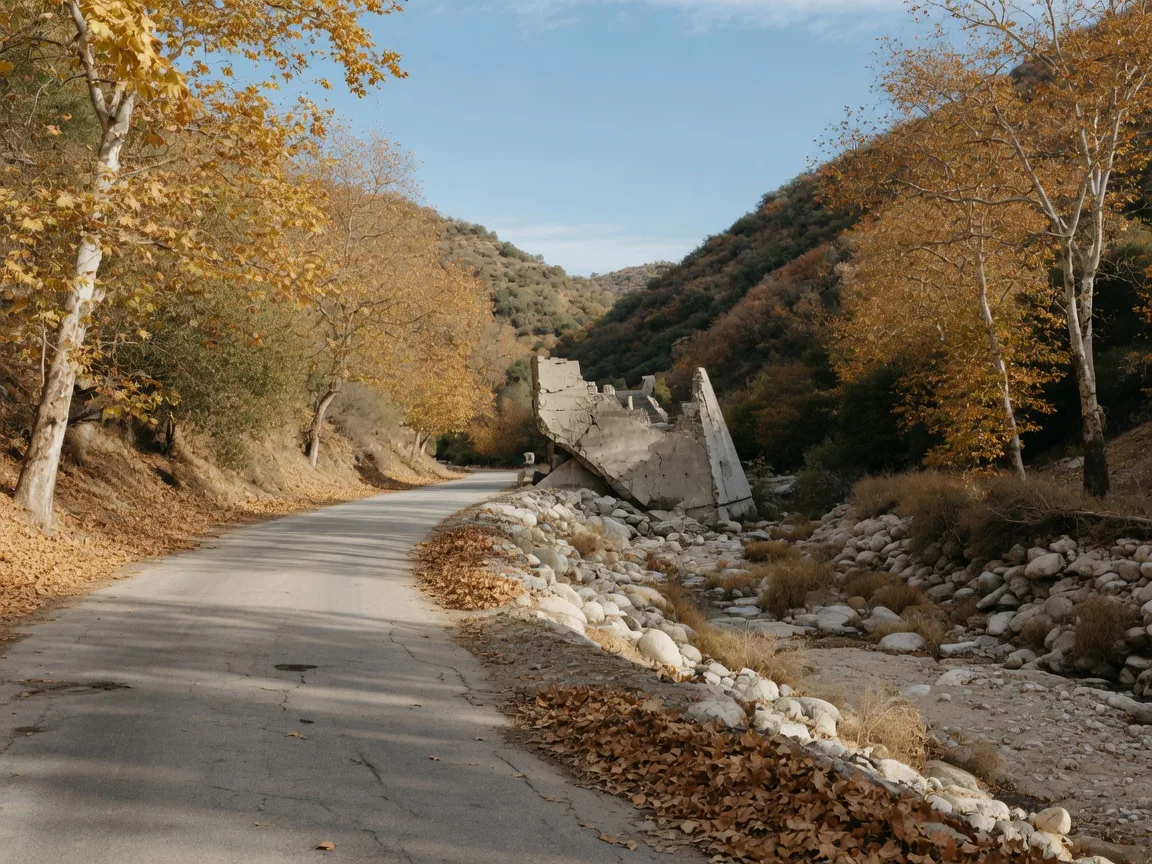
The trailhead sits up San Francisquito Canyon Road, the scenic two-lane that runs north out of the valley toward the Angeles National Forest. From Valencia or Saugus, take San Francisquito Canyon Road north and watch for the trailhead parking on the canyon road. It is a short drive from town, which is exactly why it makes such a good quick-morning hike.
Access: San Francisquito Canyon Road, Angeles National Forest, north of Santa Clarita
Check current Angeles National Forest conditions and parking requirements before you go, and never park beyond signed areas. Forest roads and trailheads can close after storms, so confirm the route is open on the forest's alerts page first.
When to Go
Fall and winter are the sweet spot for Grass Mountain. Cooler temperatures make the climb pleasant, the light sits low and golden, and the views stay clear. In spring, the chaparral greens up and wildflowers appear along the lower sections. Summer is doable but hot and fully exposed, so go early or skip it for the valley's paved trails.
Mornings are best year-round: cooler air, parking at the trailhead, and the valley below still soft in the morning haze. Afternoon winds pick up on the ridgeline, so plan to be off the top by early afternoon.
Sam's Grass Mountain Packing List
-
Water, more than you think. The climb is exposed and the gain is real. A liter per hour of hiking is a good rule.
-
Sun protection. Hat, sunscreen, sunglasses. Much of the loop is open chaparral without shade.
-
Real trail shoes. Loose dirt, rocky sections, and switchbacks call for grippy soles, not sneakers.
-
A downloaded map. Cell service is spotty in the canyon. Download the route before you leave the valley.
Know Before You Go
-
Check forest alerts first. Angeles National Forest trailheads can close after rain or during high fire risk. Confirm the route is open before you drive up.
-
Budget 2.5 to 3.5 hours. The 4.6-mile loop with 1,246 feet of gain is a half-day outing, not a quick stroll.
-
Leave no trace. Pack out everything, stay on the trail, and give wildlife plenty of room.
-
Not up for the climb? The paved San Francisquito Creek Trail down in the valley offers a flat, family-friendly alternative with the same canyon scenery.
More SCV Trails Worth Hiking
Golden Valley Ranch Open Space
A 900-plus-acre preserve between Placerita Canyon and Canyon Country with loops from 3.1 to 7.5 miles and big valley panoramas.
Read the Trail GuideEast Walker Ranch Trail
Placerita Canyon's hidden loop through oak woodlands, with options from 1.6 to about 3.4 miles.
Read the Trail GuidePaved Trails & Paseos
The Santa Clara River Trail, San Francisquito Creek Trail, and 20 miles of grade-separated paseos for walkers, runners, and cyclists.
Read the Trail Guide